







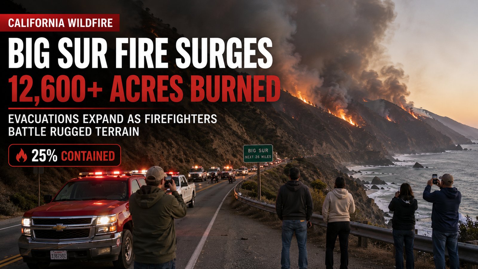
BIG SUR, Calif. — The Timber Fire in Monterey County has grown to more than 12,600 acres, with evacuation orders and warnings expanding as firefighters battle increasing activity on the northern and eastern sides of the blaze.
The fire, burning in the Big Sur and Ventana Wilderness area, was listed at 12,616 acres and 25% contained Sunday evening, according to the latest CAL FIRE incident update. The fire started August 8 southeast of Loma Vista in the Los Padres National Forest.
The latest expansion is significant because fire activity has increased toward Ventana Cone and Logwood Ridge, while warm, dry conditions and critically low fuel moisture are making parts of the fire more difficult to control.
Timber Fire Has Now Burned More Than 12,600 Acres
The Timber Fire has continued growing despite firefighters making progress on containment lines.
CAL FIRE’s latest incident information shows:
- 12,616 acres burned
- 25% containment
- Monterey County
- Fire started August 8, 2026
- Cause remains under investigation
- Los Padres National Forest and Monterey County Sheriff’s Department have jurisdiction
- CAL FIRE Incident Management Team 1 is assisting with the response
The latest acreage was validated by an intelligence flight Sunday, according to incident officials.
Evacuation Orders Are Still in Effect
This is one of the most important parts of the latest update for residents.
CAL FIRE currently lists seven evacuation-order zones:
- MRY-F015-C
- MRY-D082
- MRY-D090
- MRY-D089
- MRY-D091
- MRY-F031-A
- MRY-F028-B
An evacuation order means there is an immediate threat to life and residents in the affected area are legally required to leave.
CAL FIRE also lists multiple zones under evacuation warnings, including MRY-F015-B, MRY-D078, MRY-D084, MRY-D085, MRY-D086, MRY-D088 and several others.
Residents who need additional time to evacuate, particularly people with pets or livestock, are advised to leave during a warning rather than waiting for an order.
Where Is the Fire Moving?
Fire officials say the latest increase in activity is concentrated primarily on the northern and eastern portions of the fire.
Activity has increased toward Ventana Cone, while the eastern side continues burning within the rim of Logwood Ridge.
Officials said there have been no major eastward runs, but crews remain concerned about the potential for additional movement through rugged wilderness terrain.
The coastal side of the fire has been considerably quieter, with limited fire activity reported in that area.
Why Is the Fire Growing So Quickly?
Weather and fuel conditions are playing a major role.
CAL FIRE said Sunday’s intelligence flight confirmed additional acreage because of:
- Critically low fuel moisture
- Warmer temperatures
- Low relative humidity
- Terrain-driven fire activity
- Dry vegetation
The steep and rugged landscape around Big Sur also makes firefighting particularly challenging.
Crews cannot simply drive equipment directly to every portion of the fire line.
Instead, firefighters are constructing primary and contingency control lines and using aircraft where terrain limits access.
Firefighters Are Using Aircraft to Fight the Blaze
Aircraft remain an important part of the response.
CAL FIRE says aviation resources are supporting ground crews while firefighters reinforce containment features around the fire.
Crews are also preparing for potential firing operations along Coast Ridge Road, using strategic control lines to help prevent additional spread.
On the northern side, firefighters are strengthening contingency lines around the Big Sur area.
The goal is to create additional layers of protection rather than relying on a single line around the active fire.
What Areas Are Most Concerning?
Fire officials are particularly watching the eastern and northern portions of the incident.
The fire has moved deeper into wilderness areas, where steep terrain and dry vegetation can make suppression more difficult.
CAL FIRE reported Sunday that fire activity was increasing toward Ventana Cone and slowly backing down drainages.
At the same time, crews reported limited activity along portions of the coastal side.
That difference is important because not every section of the fire is behaving the same way.
Is Highway 1 Closed?
There have been changing road conditions during the incident.
CAL FIRE’s latest Sunday update stated that Highway 1 had been fully reopened, following earlier closures associated with the fire and emergency operations.
However, travelers should check conditions immediately before driving because wildfire operations can result in rapid changes to road access.
California State Parks continues to list several Big Sur-area parks as closed because of the Timber Fire.
Big Sur State Parks Remain Closed
Several popular parks in the Big Sur area have been affected by the fire.
California State Parks has reported closures involving:
- Pfeiffer Big Sur State Park
- Julia Pfeiffer Burns State Park
- Andrew Molera State Park
- Point Sur State Historic Park
The closures are intended to protect visitors and allow emergency crews to operate safely.
For tourists planning a Big Sur trip, checking official park and fire information before traveling is essential.
Are Structures in Immediate Danger?
The fire remains a significant threat, particularly because of the continuing evacuation orders and warnings.
CAL FIRE currently lists 661 structures threatened.
The incident’s rugged terrain and changing weather make conditions difficult to predict.
Officials are continuing to reinforce control lines and contingency routes around areas where communities and structures could be affected.
What Are Firefighters Doing Today?
Crews are concentrating on building depth into the containment strategy.
That includes:
- Reinforcing primary control lines
- Building contingency lines
- Using aircraft for retardant and water drops
- Monitoring fire movement
- Protecting communities
- Preparing additional firing operations
- Strengthening strategic roads and ridgelines
The objective isn’t necessarily to stop every visible flame immediately.
Instead, firefighters are attempting to establish defensible lines that can prevent the fire from moving into more populated or difficult-to-defend areas.
Could the Timber Fire Grow Further?
Fire officials are continuing to watch conditions closely.
The latest CAL FIRE update said nighttime drying and poor relative humidity could allow fire activity to continue overnight.
Warmer and drier conditions can increase the ability of the fire to move through vegetation, particularly above the marine layer.
That means containment numbers can change quickly.
A fire being 25% contained does not mean 25% of the fire is extinguished. Containment refers to the percentage of the fire perimeter where control lines have been established to prevent further spread.
What Big Sur Residents Should Do
Residents in or near the affected areas should rely on official evacuation information rather than social-media reports.
If you are under an evacuation order, leave immediately.
If you are under an evacuation warning, prepare to leave and consider leaving early if you need extra time because of children, elderly family members, pets or livestock.
Keep important documents, medications, phones, chargers and essential supplies ready to go.
And do not wait for flames to become visible before taking an evacuation warning seriously.
Where to Get Official Evacuation Information
Residents should check Monterey County’s official emergency system for the latest evacuation zones and instructions.
Ready Monterey County Emergency Information
CAL FIRE’s official Timber Fire page is also providing ongoing incident updates.
Because evacuation boundaries can change, readers should verify the current status before traveling or returning to an affected area.
Why the Timber Fire Matters Beyond Big Sur
The Timber Fire is another reminder of how quickly California wildfire conditions can change during periods of dry vegetation and elevated temperatures.
The fire began in a remote portion of the Los Padres National Forest but has grown into a major incident involving evacuation orders, road impacts, park closures and a large firefighting response.
For Big Sur, the stakes are particularly high because of the area’s rugged geography, limited transportation routes, tourism economy and environmentally sensitive landscapes.
What Happens Next?
Fire crews will continue working on the northern and eastern portions of the fire while strengthening containment lines around the incident.
Officials will also continue using aircraft to support firefighters and monitoring weather and fuel conditions.
The next major milestones will be whether firefighters can prevent additional eastward and northward growth and whether containment can increase without further evacuation expansion.
For residents, however, the most important information is much simpler:
Follow evacuation orders immediately and check official sources before traveling into the Big Sur area.
The Bottom Line
The Timber Fire has grown to 12,616 acres and is 25% contained, according to the latest CAL FIRE incident update from Sunday evening.
Evacuation orders remain in effect across several Monterey County zones, while additional areas remain under evacuation warnings.
Fire activity has increased toward Ventana Cone and Logwood Ridge, with warm, dry conditions and low fuel moisture contributing to difficult firefighting conditions.
The situation remains active, and conditions can change quickly.
If you’re anywhere near Big Sur, don’t rely on yesterday’s evacuation map — check the latest official information before you travel or decide whether it is safe to stay.
Official Information & Useful Links
CAL FIRE Timber Fire: Official Timber Fire Incident Page
Monterey County Emergency Information: Ready Monterey County
California State Parks: Big Sur State Parks Information
AI Image Disclosure
Image Disclaimer: The featured image in this article was generated using artificial intelligence (AI) for illustrative and editorial purposes. It does not depict an actual Timber Fire photograph, evacuation scene, firefighter or specific location at the time of publication.